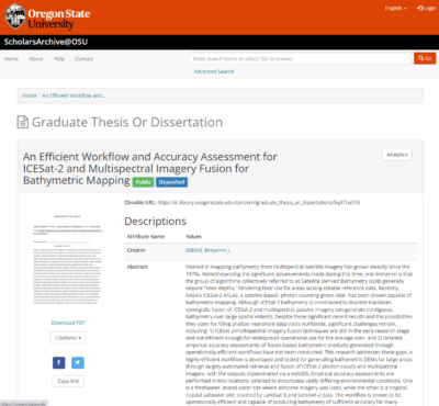
Oregon State University, MS thesis
URL: https://ir.library.oregonstate.edu/concern/graduate_thesis_or_dissertations/5q47rw315
From the dataset abstract
Interest in mapping bathymetry from multispectral satellite imagery has grown steadily since the 1970s. Notwithstanding the significant advancements made during this time, one...
Additional Information
| Field | Value |
|---|---|
| Data last updated | September 17, 2021 |
| Metadata last updated | September 17, 2021 |
| Created | September 17, 2021 |
| Format | HTML |
| License | Creative Commons Attribution |
| created | over 4 years ago |
| format | HTML |
| has views | True |
| id | abdc6f10-c2f7-49d9-af6f-74e9aaf1d100 |
| package id | f175ef4d-6093-468d-9671-868985af0cf1 |
| revision id | 558562c7-4ec4-4041-bc5b-71d7ef89c3b1 |
| state | active |
