Remote Sensing Volume 11 Issue 14
URL: https://www.mdpi.com/2072-4292/11/14/1634/htm
From the dataset abstract
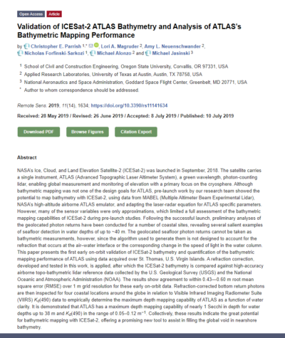
NASA’s Ice, Cloud, and Land Elevation Satellite-2 (ICESat-2) was launched in September, 2018. The satellite carries a single instrument, ATLAS (Advanced Topographic Laser Altimeter...
Source: Validation of ICESat-2 ATLAS Bathymetry and Analysis of ATLAS’s Bathymetric Mapping Performance
Additional Information
| Field | Value |
|---|---|
| Data last updated | September 17, 2021 |
| Metadata last updated | September 17, 2021 |
| Created | September 17, 2021 |
| Format | HTML |
| License | Creative Commons Attribution |
| created | over 4 years ago |
| format | HTML |
| has views | True |
| id | e3d68dbe-dccb-4767-8985-01e5be64af9d |
| package id | f104874e-7662-42c0-aaa9-32d05eb57e31 |
| revision id | 1dde5167-a87a-46e4-ac6b-22f77d4264da |
| state | active |
