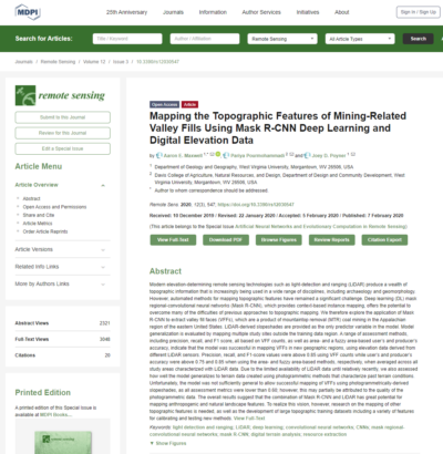
Remote Sensing Volume 12 Issue 3
URL: https://www.mdpi.com/2072-4292/12/3/547
From the dataset abstract
Modern elevation-determining remote sensing technologies such as light-detection and ranging (LiDAR) produce a wealth of topographic information that is increasingly being used in a wide...
Additional Information
| Field | Value |
|---|---|
| Data last updated | September 19, 2021 |
| Metadata last updated | September 19, 2021 |
| Created | September 19, 2021 |
| Format | HTML |
| License | Creative Commons Attribution |
| created | over 4 years ago |
| format | HTML |
| has views | True |
| id | 5d028a23-54d5-41fc-8672-67337714e5c0 |
| package id | 1c32cab2-b0f5-41ef-afec-5aacf6e2bd5a |
| revision id | f46da247-a03f-41a5-92f3-799f33217616 |
| state | active |
